
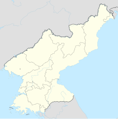
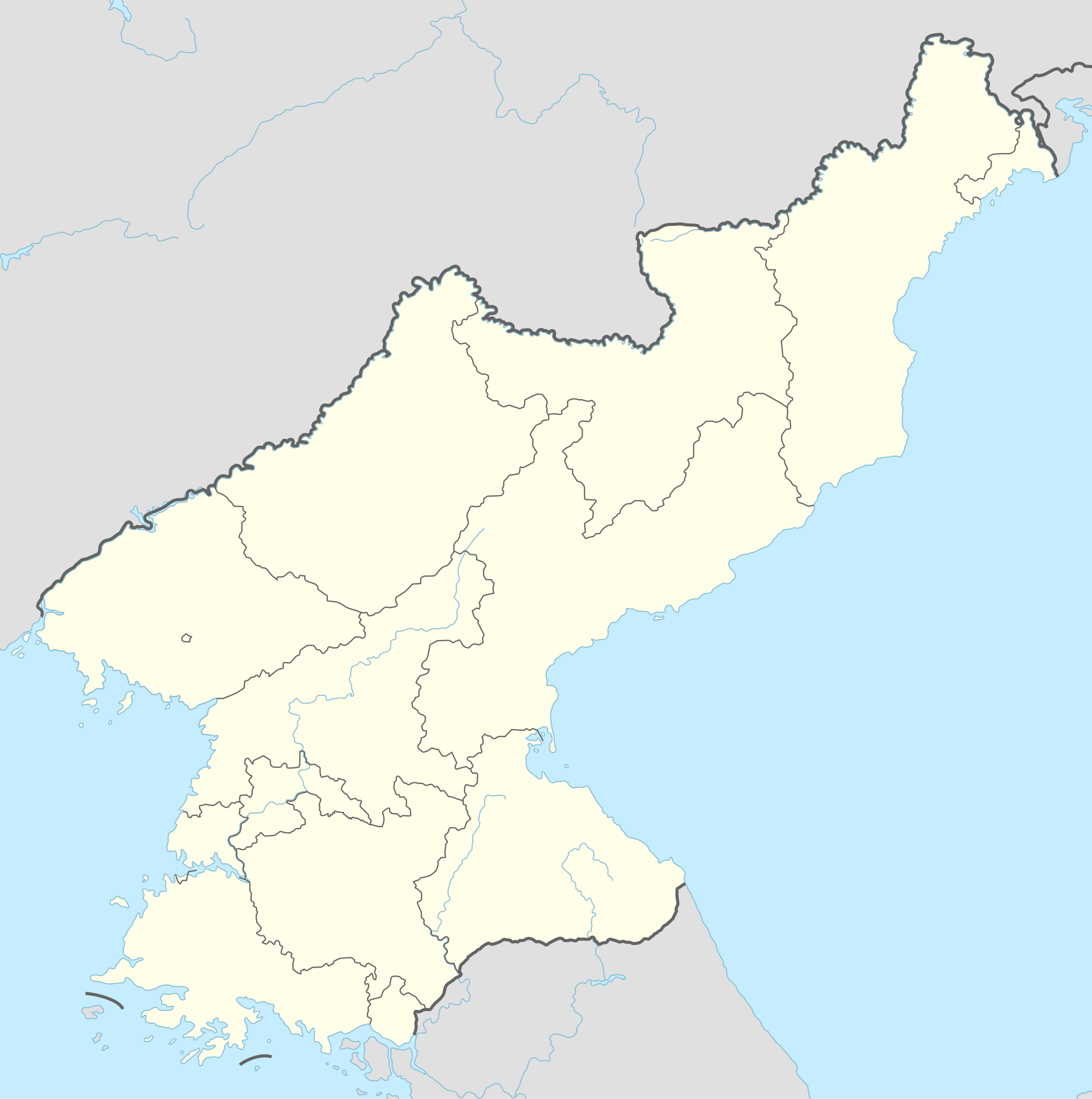
Датотека:North Korea adm location map.svg

Originalna datoteka (SVG datoteka, nominalno 1.606 × 1.616 piksela, veličina: 264 kB)
| Ovo je datoteka sa Vikimedijine ostave. Informacije sa njene stranice sa opisom prikazane su ispod. Vikimedijina ostava je skladište slobodno licenciralnih multimedijalnih datoteka. I Vi možete da pomognete. |
Opis izmene
| Opis |
Deutsch: Positionskarte von Nordkorea
English: Location map of North Korea
|
||||||||||||
| Datum | |||||||||||||
| Izvor |
Own work using:
|
||||||||||||
| Autor | NordNordWest | ||||||||||||

|
This map has been made or improved in the German Kartenwerkstatt (Map Lab). You can propose maps to improve as well.
|
Licenciranje
Usage of this file with:

explanatory notes: Legally binding is only the full legalcode. For a free usage I recommend to respect the following licence conditions:
1. Provide my name as given above: NordNordWest,
2. a copy of, or the URI for, the applicable license: https://creativecommons.org/licenses/by-sa/3.0/de/legalcode,
3. the title of the work,
4. in the case of an adaptation, a credit identifying the use of the work in the adaptation.
This license and the rights granted hereunder will terminate automatically upon any breach by you of the terms of this license. Any of the above conditions can be waived if you get permission from the copyright holder. If you have questions or wish differing conditions, please contact me through nnwest or my discussion page ![]() t-online.de
t-online.de
- Dozvoljeno je:
- da delite – da umnožavate, raspodeljujete i prenosite delo
- da prerađujete – da preradite delo
- Pod sledećim uslovima:
- autorstvo – Morate da date odgovarajuće zasluge, obezbedite vezu ka licenci i naznačite da li su izmene napravljene. Možete to uraditi na bilo koji razuman manir, ali ne na način koji predlaže da licencator odobrava vas ili vaše korišćenje.
- deliti pod istim uslovima – Ako izmenite, preobrazite ili dogradite ovaj materijal, morate podeliti svoje doprinose pod istom ili kompatibilnom licencom kao original.

Istorija datoteke
Kliknite na datum/vreme da biste videli tadašnju verziju datoteke.
| Datum/vreme | Minijatura | Dimenzije | Korisnik | Komentar | |
|---|---|---|---|---|---|
| trenutna | 22:40, 1. decembar 2022. | | 1.606 × 1.616 (264 kB) | NordNordWest | corr |
| 19:06, 11. septembar 2015. |  | 1.606 × 1.616 (275 kB) | NordNordWest | corr | |
| 12:47, 9. septembar 2015. |  | 1.606 × 1.616 (275 kB) | NordNordWest | corr | |
| 12:36, 9. septembar 2015. |  | 1.606 × 1.616 (276 kB) | NordNordWest | == {{int:filedesc}} == {{Information |Description= {{de|1=Positionskarte von Nordkorea}} {{en|1=Location map of North Korea}} {{Location map series N |stretching=120 |top=43.2 |bottom=37.5 |left=124.1 |right=130.9 }} |Source={{Own using}} * United Stat... |
Upotreba datoteke
9 sledećih stranica koristi ovu datoteku:
Globalna upotreba datoteke
Drugi vikiji koji koriste ovu datoteku:
- Upotreba na af.wikipedia.org
- Upotreba na als.wikipedia.org
- Upotreba na an.wikipedia.org
- Upotreba na ar.wikipedia.org
- Upotreba na az.wikipedia.org
- Upotreba na ba.wikipedia.org
- Upotreba na bcl.wikipedia.org
- Upotreba na be-tarask.wikipedia.org
- Upotreba na be.wikipedia.org
- Upotreba na bg.wikipedia.org
- Upotreba na bn.wikipedia.org
- Upotreba na bs.wikipedia.org
- Upotreba na ca.wikipedia.org
- Upotreba na cdo.wikipedia.org
Još globalnog korišćenja ove datoteke.