
Датотека:Detailed map of Osborne, Kansas.png
Veća rezolucija nije dostupna.
Detailed_map_of_Osborne,_Kansas.png (575 × 425 piksela, veličina datoteke: 24 kB, MIME tip: image/png)
| Ovo je datoteka sa Vikimedijine ostave. Informacije sa njene stranice sa opisom prikazane su ispod. Vikimedijina ostava je skladište slobodno licenciralnih multimedijalnih datoteka. I Vi možete da pomognete. |
| Opis |
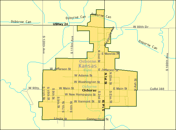
English: Map of Osborne, Kansas |
|||
| Datum | Nepoznat datum; downloaded 12 Aug 2010 | |||
| Izvor | http://factfinder.census.gov/servlet/MapItDrawServlet?geo_id=16000US2053325&_bucket_id=50&tree_id=420&context=saff&_lang=en&_sse=on, from http://factfinder.census.gov | |||
| Autor | United States Census Bureau | |||
| Dozvola (Ponovno korišćenje ove datoteke) |
|

Prvobitan dnevnik otpremanja
| Datum/vreme | Dimenzije | Korisnik | Komentar |
|---|---|---|---|
| 12. avgust 2010., 15:20:01 | 575 × 425 (26783 bytes) | FUBAR007 (razgovor · doprinosi) | {{Information |Description={{en|1=Map of {{w|Osborne, Kansas}}}} |Source=http://factfinder.census.gov/servlet/MapItDrawServlet?geo_id=16000US2053325&_bucket_id=50&tree_id=420&context=saff&_lang=en&_sse=on, from http://factfinder.census.gov |Author={{w|Uni |
Istorija datoteke
Kliknite na datum/vreme da biste videli tadašnju verziju datoteke.
| Datum/vreme | Minijatura | Dimenzije | Korisnik | Komentar | |
|---|---|---|---|---|---|
| trenutna | 08:47, 11. decembar 2014. | | 575 × 425 (24 kB) | GifTagger | Bot: Converting file to superior PNG file. (Source: Detailed_map_of_Osborne,_Kansas.gif). This GIF was problematic due to non-greyscale color table. |
Upotreba datoteke
Nema stranica koje koriste ovu datoteku.
Globalna upotreba datoteke
Drugi vikiji koji koriste ovu datoteku:
- Upotreba na fa.wikipedia.org
- Upotreba na sh.wikipedia.org