
Датотека:Greece municipalities.png

Veličina ovog prikaza: 679 × 600 piksela. 5 drugih rezolucija: 272 × 240 piksela | 543 × 480 piksela | 870 × 768 piksela | 1.159 × 1.024 piksela | 1.551 × 1.370 piksela.
Originalna datoteka (1.551 × 1.370 piksela, veličina datoteke: 136 kB, MIME tip: image/png)
| Ovo je datoteka sa Vikimedijine ostave. Informacije sa njene stranice sa opisom prikazane su ispod. Vikimedijina ostava je skladište slobodno licenciralnih multimedijalnih datoteka. I Vi možete da pomognete. |
Opis izmene
| Opis |
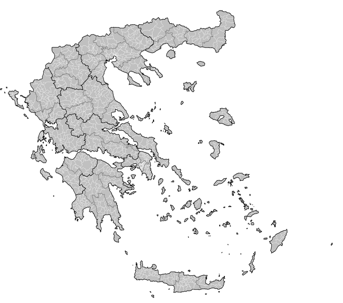
English: Map of the municipalities of Greece. |
| Datum | |
| Izvor | Sopstveno delo - created by Rarelibra 23:33, 4 October 2007 (UTC) for public domain use, using MapInfo Professional v8.5 and various mapping resources. |
| Autor | Rarelibra |
Licenciranje
| Ja, tvorac ovog dela, predajem ga u javno vlasništvo. Ovo se odnosi na ceo svet. U nekim zemljama, ovo nije zakonski moguće; u tom slučaju: Ja, tvorac ovog dela dozvoljavam svakome da koristi ovo delo za bilo koju namenu, bez bilo kakvih uslova, osim uslova koje nameće zakon. |
Istorija datoteke
Kliknite na datum/vreme da biste videli tadašnju verziju datoteke.
| Datum/vreme | Minijatura | Dimenzije | Korisnik | Komentar | |
|---|---|---|---|---|---|
| trenutna | 15:44, 29. oktobar 2007. | | 1.551 × 1.370 (136 kB) | Rarelibra | current |
| 22:06, 5. oktobar 2007. |  | 2.112 × 1.632 (105 kB) | Rarelibra | ||
| 22:05, 5. oktobar 2007. |  | 2.112 × 1.632 (105 kB) | Rarelibra | Finished East Attica... | |
| 21:06, 5. oktobar 2007. |  | 2.112 × 1.632 (102 kB) | Rarelibra | updated map with corrections as noted from user Bogomolov.PL (and much thanks to his rather detailed critique!) | |
| 01:34, 5. oktobar 2007. |  | 1.728 × 2.304 (224 kB) | Rarelibra | Updated image size. | |
| 01:33, 5. oktobar 2007. |  | 3.456 × 4.608 (288 kB) | Rarelibra | Map of the municipalities of Greece. Created by ~~~~ for public domain use, using MapInfo Professional v8.5 and various mapping resources. NOTE: The map is incomplete due to the unavailable data for East Attica prefecture. This will be resolved soon. |
Upotreba datoteke
Sledeća stranica koristi ovu datoteku:
Globalna upotreba datoteke
Drugi vikiji koji koriste ovu datoteku:
- Upotreba na el.wikipedia.org
- Κατάλογος δήμων ανά νομό (πρόγραμμα Καποδίστριας)
- Κατάλογος δήμων και κοινοτήτων Ελλάδας (πρόγραμμα Καποδίστριας)
- Σχέδιο «Καποδίστριας»
- Χρήστης:Costas78
- Βικιπαίδεια:Επιχείρηση Δήμοι της Ελλάδας
- Κοινότητα (τοπική αυτοδιοίκηση)
- Δημοτική ενότητα
- Βικιπαίδεια:Επιχείρηση Δήμοι της Ελλάδας/πρότυπο
- Χρήστης:KOSTASatWIKI
- Κατάλογος κοινοτήτων Ελλάδας ανά νομό 1999-2010
- Upotreba na el.wiktionary.org
- Upotreba na en.wikipedia.org
- Upotreba na fi.wikipedia.org