
Датотека:USGS Rikers Island.png

Veličina ovog prikaza: 732 × 599 piksela. 6 drugih rezolucija: 293 × 240 piksela | 586 × 480 piksela | 938 × 768 piksela | 1.250 × 1.024 piksela | 2.501 × 2.048 piksela | 3.287 × 2.692 piksela.
Originalna datoteka (3.287 × 2.692 piksela, veličina datoteke: 12,55 MB, MIME tip: image/png)
| Ovo je datoteka sa Vikimedijine ostave. Informacije sa njene stranice sa opisom prikazane su ispod. Vikimedijina ostava je skladište slobodno licenciralnih multimedijalnih datoteka. I Vi možete da pomognete. |
Opis izmene
| Opis | |
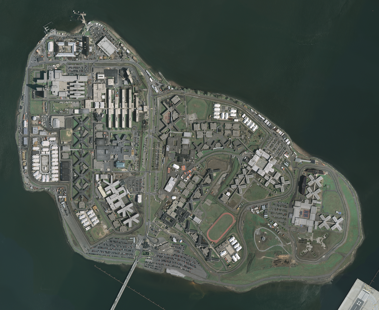
| Datum | Acquired in march 2006; published by USGS in 2008; converted and uploaded to Commons on April 22, 2009. |
| Izvor |
The National Map Seamless Server, layer New York City (Mar 2006), latitude 40.79930093 to 40.78455349, longitude -73.89361276 to -73.86990631. Converted from GeoTIFF to PNG using GIMP. |
| Autor | U.S. Geological Survey, conversion to PNG by uploader (Herr Satz). |
Licenciranje
This image is in the public domain in the United States because it only contains materials that originally came from the United States Geological Survey, an agency of the United States Department of the Interior. For more information, see the official USGS copyright policy.
|
Istorija datoteke
Kliknite na datum/vreme da biste videli tadašnju verziju datoteke.
| Datum/vreme | Minijatura | Dimenzije | Korisnik | Komentar | |
|---|---|---|---|---|---|
| trenutna | 14:19, 22. april 2009. | | 3.287 × 2.692 (12,55 MB) | Herr Satz | {{Information |Description={{en|1=w:Orthophoto of w:Rikers Island.}} |Source=[http://gisdata.usgs.net/website/seamless/viewer.htm ''The National Map'' Seamless Server], layer [http://gisdata.usgs.gov/edc_catalog/fetch_layer_docs.php?LayerName=Ne |
Upotreba datoteke
Sledeća stranica koristi ovu datoteku:
Globalna upotreba datoteke
Drugi vikiji koji koriste ovu datoteku:
- Upotreba na ar.wikipedia.org
- Upotreba na da.wikipedia.org
- Upotreba na de.wikipedia.org
- Upotreba na en.wikipedia.org
- Upotreba na es.wikipedia.org
- Upotreba na et.wikipedia.org
- Upotreba na fr.wikipedia.org
- Upotreba na hy.wikipedia.org
- Upotreba na ja.wikipedia.org
- Upotreba na ko.wikipedia.org
- Upotreba na lt.wikipedia.org
- Upotreba na nl.wikipedia.org
- Upotreba na ru.wikipedia.org
- Upotreba na uk.wikipedia.org