
Датотека:West Midlands UK location map.svg

Величина PNG прегледа за ову SVG датотеку је 800 × 547 пиксела. 6 других резолуција: 320 × 219 пиксела | 640 × 437 пиксела | 1.024 × 700 пиксела | 1.280 × 875 пиксела | 2.560 × 1.750 пиксела | 1.425 × 974 пиксела.
Оригинална датотека (SVG датотека, номинално 1.425 × 974 пиксела, величина: 1,35 MB)
| Ово је датотека са Викимедијине оставе. Информације са њене странице са описом приказане су испод. Викимедијина остава је складиште слободно лиценциралних мултимедијалних датотека. И Ви можете да помогнете. |
| Опис |
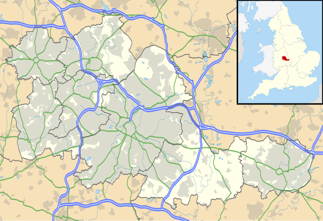
Map of the West Midlands, UK with the following information shown:
Equirectangular map projection on WGS 84 datum, with N/S stretched 160% Geographic limits:
|
| Датум | |
| Извор |
|
| Аутор | Nilfanion, created using Ordnance Survey data |
| Дозвола (Поновно коришћење ове датотеке) |
Ова датотека је доступна под лиценцом Creative Commons Ауторство-Делити под истим условима 3.0 Unported. Ауторство: Contains Ordnance Survey data © Crown copyright and database right
|
| Остале верзије | File:West Midlands UK district map (blank).svg - Blank map |
.svg)
Историја датотеке
Кликните на датум/време да бисте видели тадашњу верзију датотеке.
| Датум/време | Минијатура | Димензије | Корисник | Коментар | |
|---|---|---|---|---|---|
| тренутна | 21:17, 26. септембар 2010. | | 1.425 × 974 (1,35 MB) | Nilfanion | {{Information |Description=Map of the West Midlands, UK with the following information shown: *Administrative borders *Coastline, lakes and rivers *Roads and railways *Urban areas Equirectangular map projection on WGS 84 datu |
Употреба датотеке
5 следећих страница користи ову датотеку:
Глобална употреба датотеке
Други викији који користе ову датотеку:
- Употреба на ar.wikipedia.org
- Употреба на ast.wikipedia.org
- Употреба на bg.wikipedia.org
- Употреба на ceb.wikipedia.org
- Употреба на en.wikipedia.org
- Moseley
- Moseley and Kings Heath (ward)
- Coventry Cathedral
- Coventry Transport Museum
- 2002–03 FA Premier League
- 2003–04 FA Premier League
- Walsall
- West Bromwich
- Dudley
- Tipton
- Birmingham Airport
- Soho House
- Aston
- Smethwick
- Oldbury, West Midlands
- Rowley Regis
- Birmingham Town Hall
- Birmingham Museum and Art Gallery
- Aldridge
- Sutton Coldfield
- Bilston
- Sutton Park, West Midlands
- Blackheath, West Midlands
- Black Country Living Museum
- Dudley Castle
- Willenhall
- Halesowen
- Knowle, West Midlands
- Stourbridge
- Brierley Hill
- Brownhills
- Hampton in Arden
- Spaghetti Junction, Birmingham
- Edgbaston
- Sedgley
- Harborne
- Soho, West Midlands
- Birmingham Botanical Gardens, England
- 2004–05 FA Premier League
- Thinktank, Birmingham Science Museum
- Bournville
- Hall Green
- Northfield, Birmingham
Још глобалног коришћења ове датотеке.